Address
본문
Seongneol Oreum Volcanic Cone (Seongpanak)
#Volcanic Cones #On Foot #Spring #volcaniccone #healing #naturalscenery #walking #travelonfoot #untact #hallasan #touristdestination
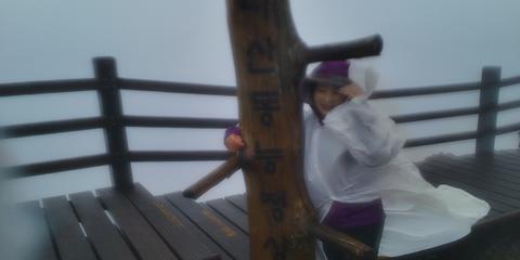
Seongneol Oreum Volcanic Cone, Possessing Magnificent Rocky Cliffs Resembling a Fortress Made of Planks
Add to wishlist
0
Like
0
Review
22
Reg itinerary
0
I visited.
0
Lookup
14,336
Share SNS
0

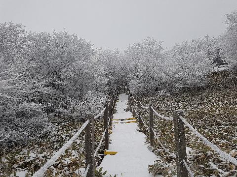
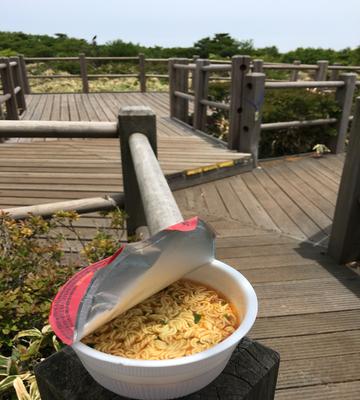
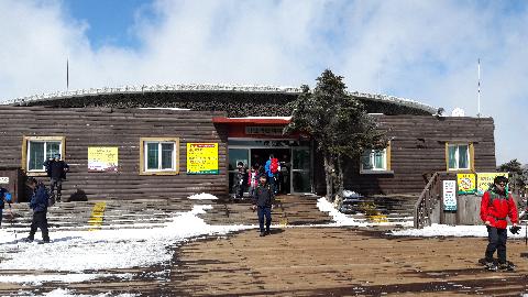
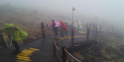
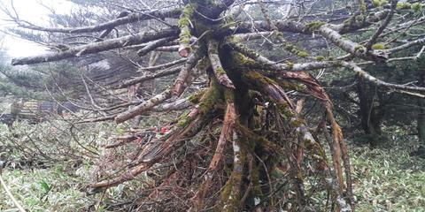
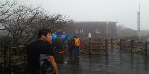
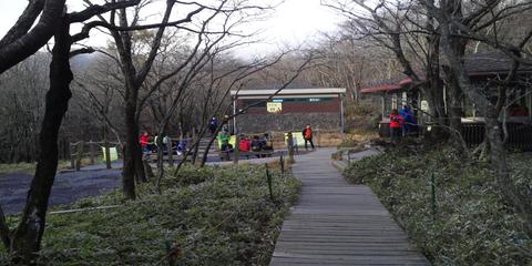
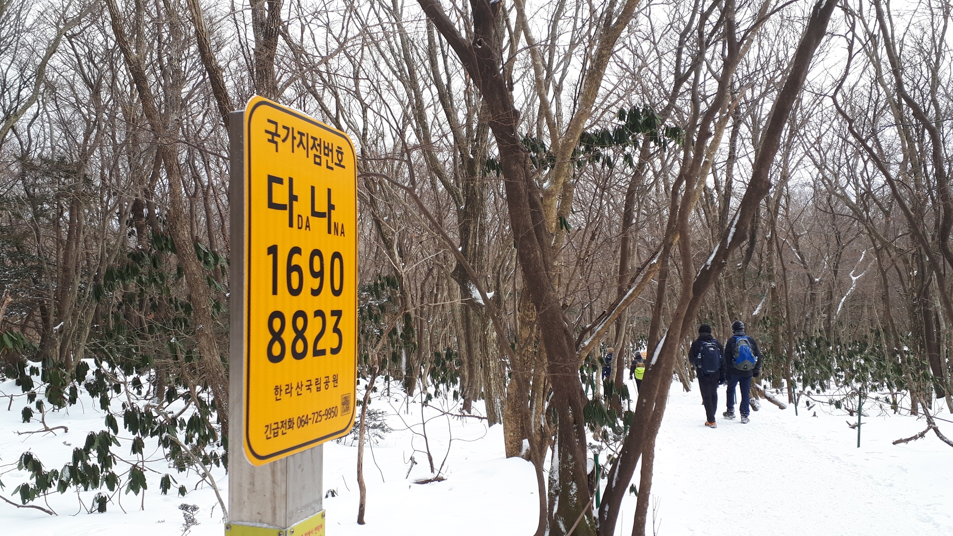
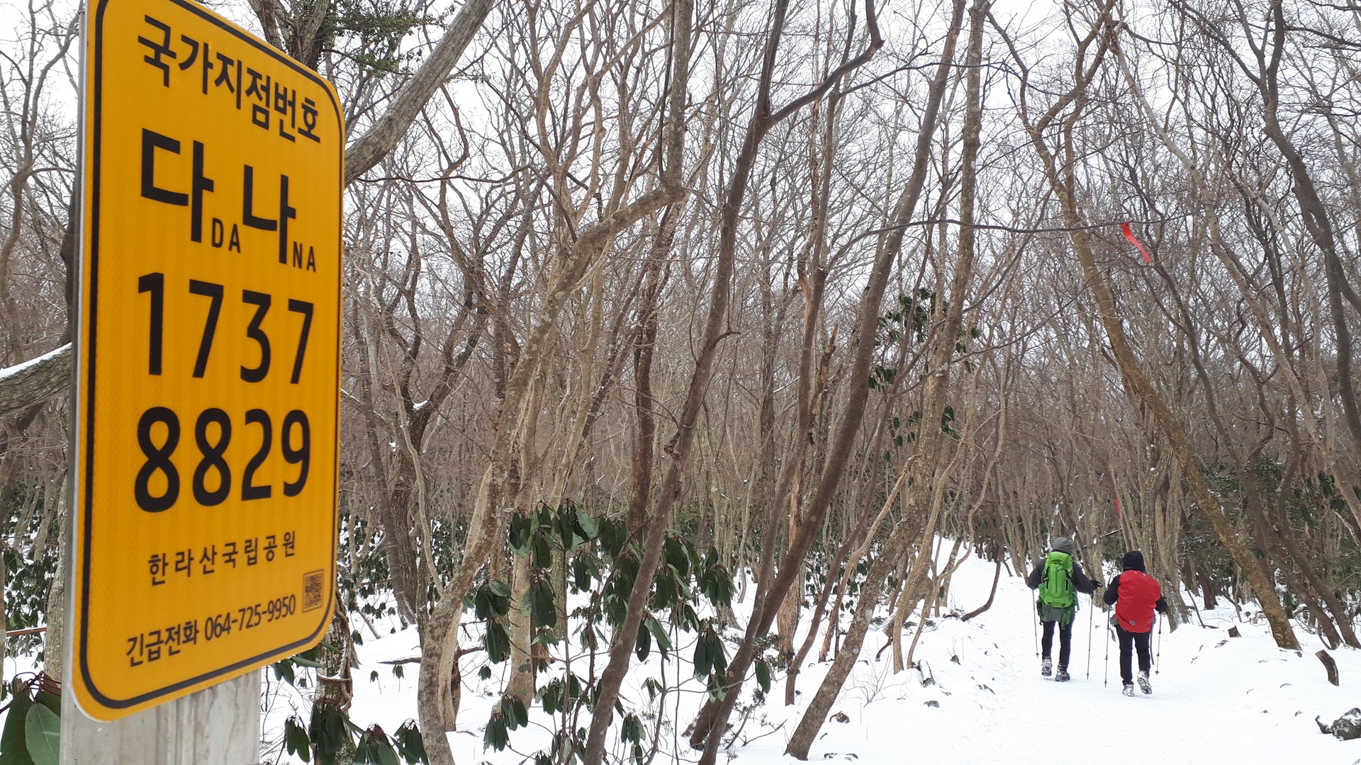
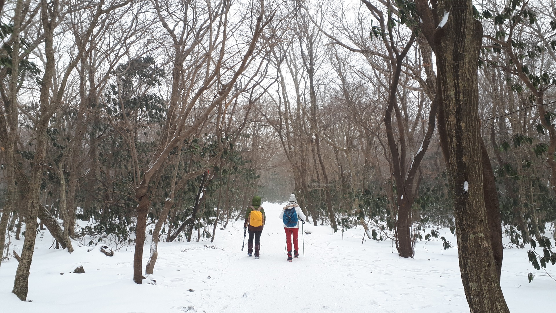
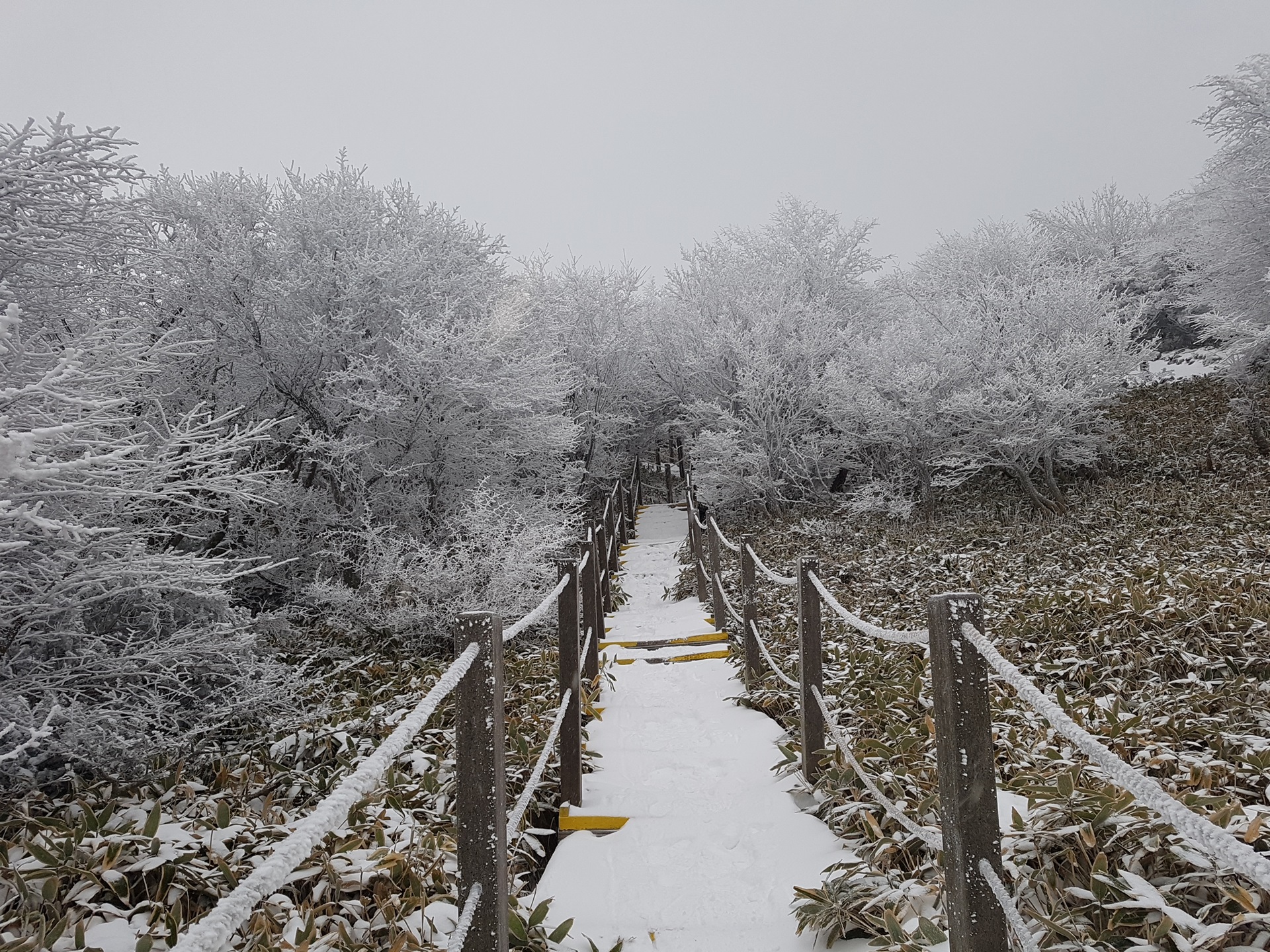
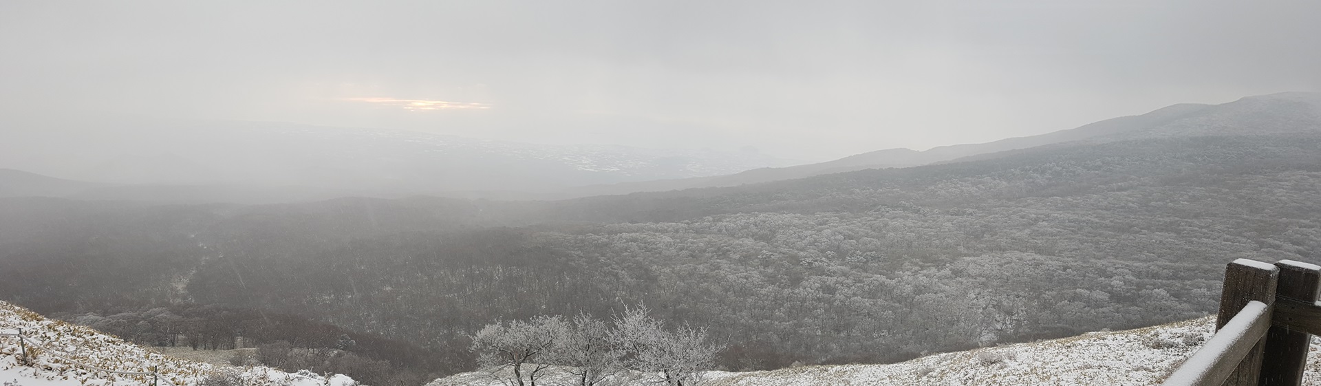
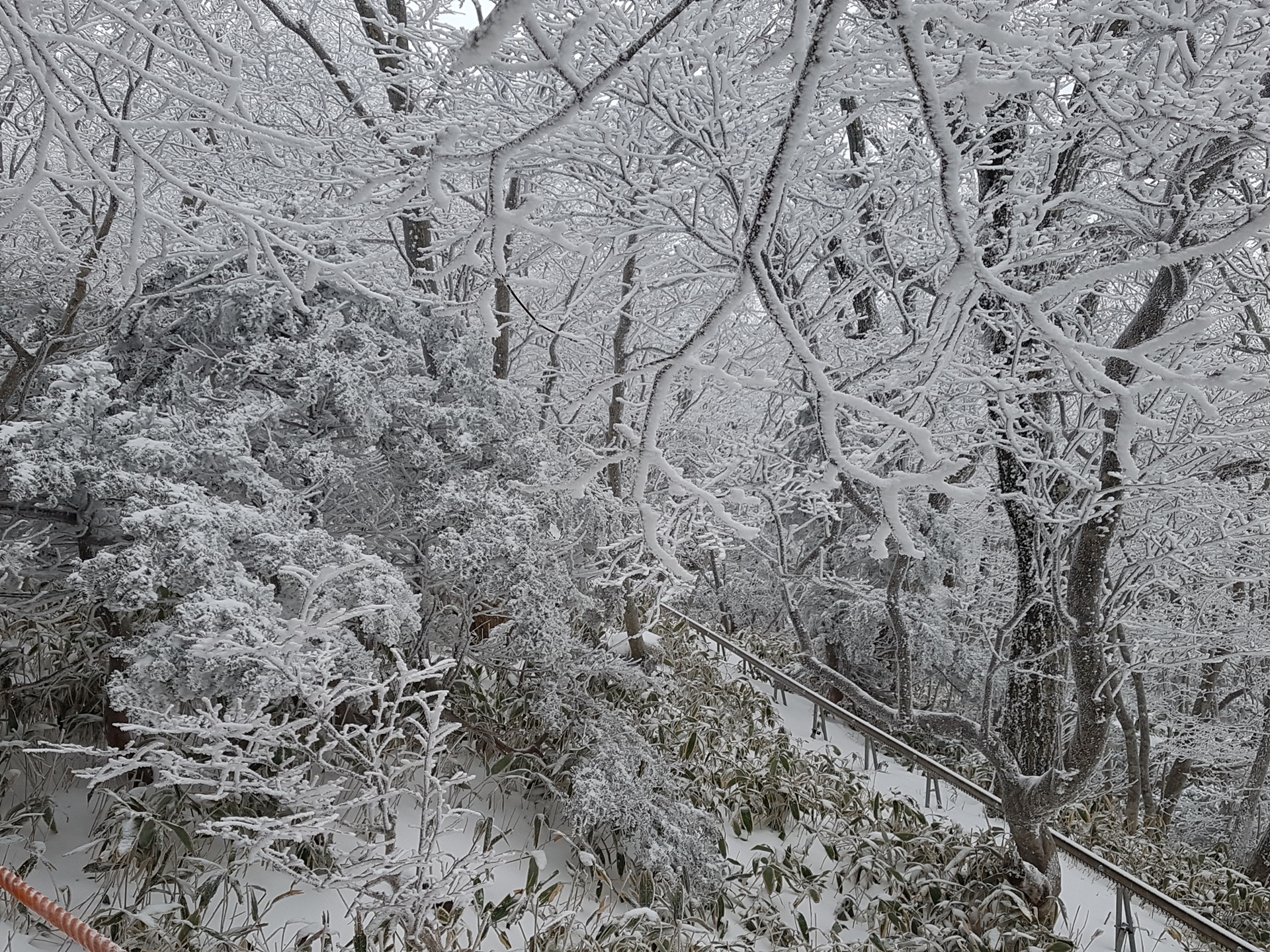
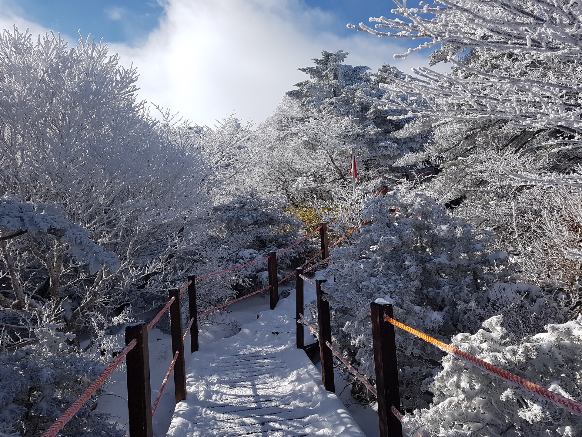
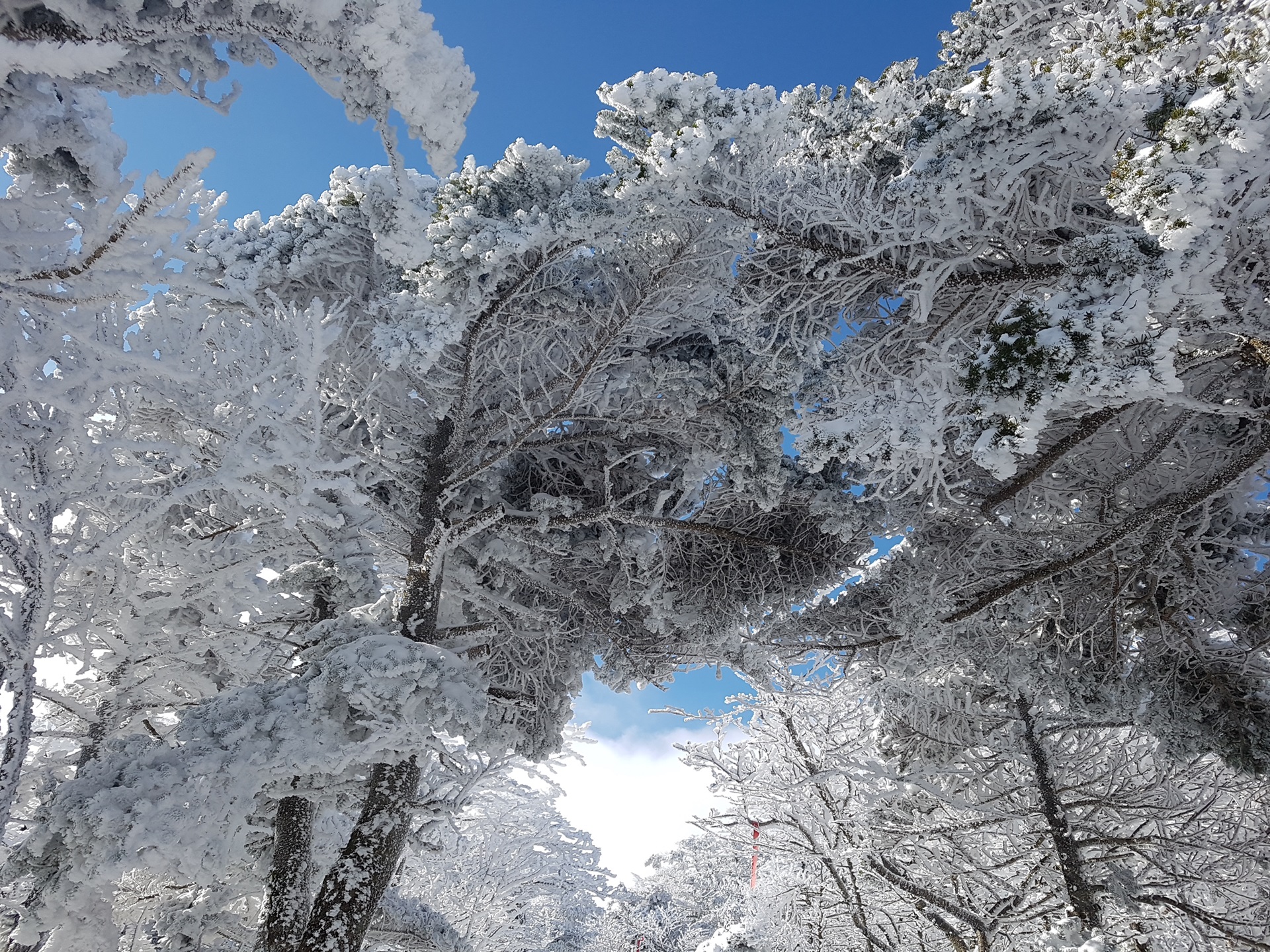
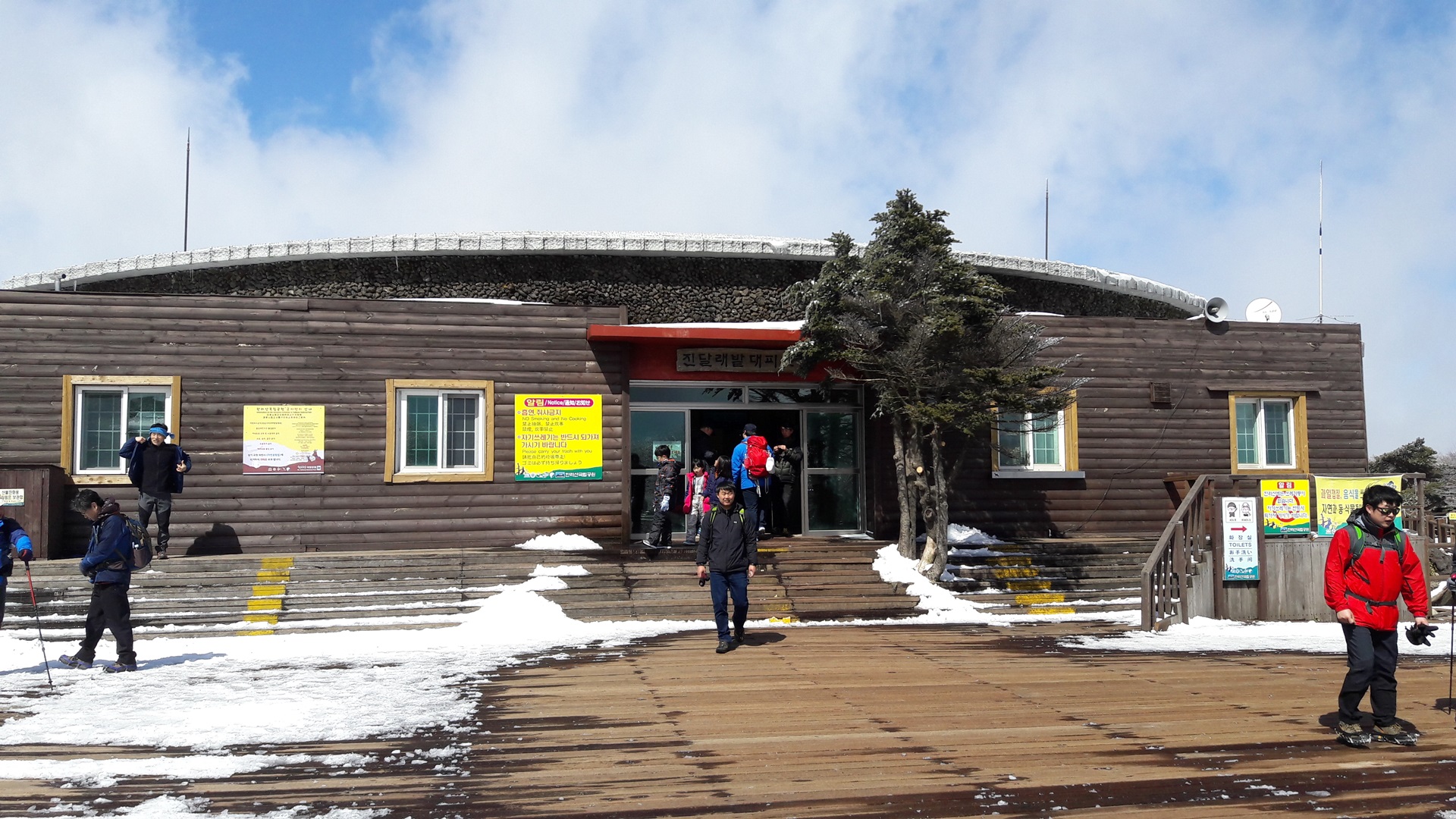
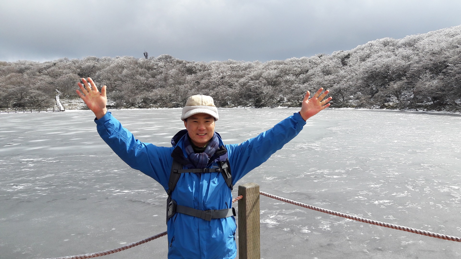
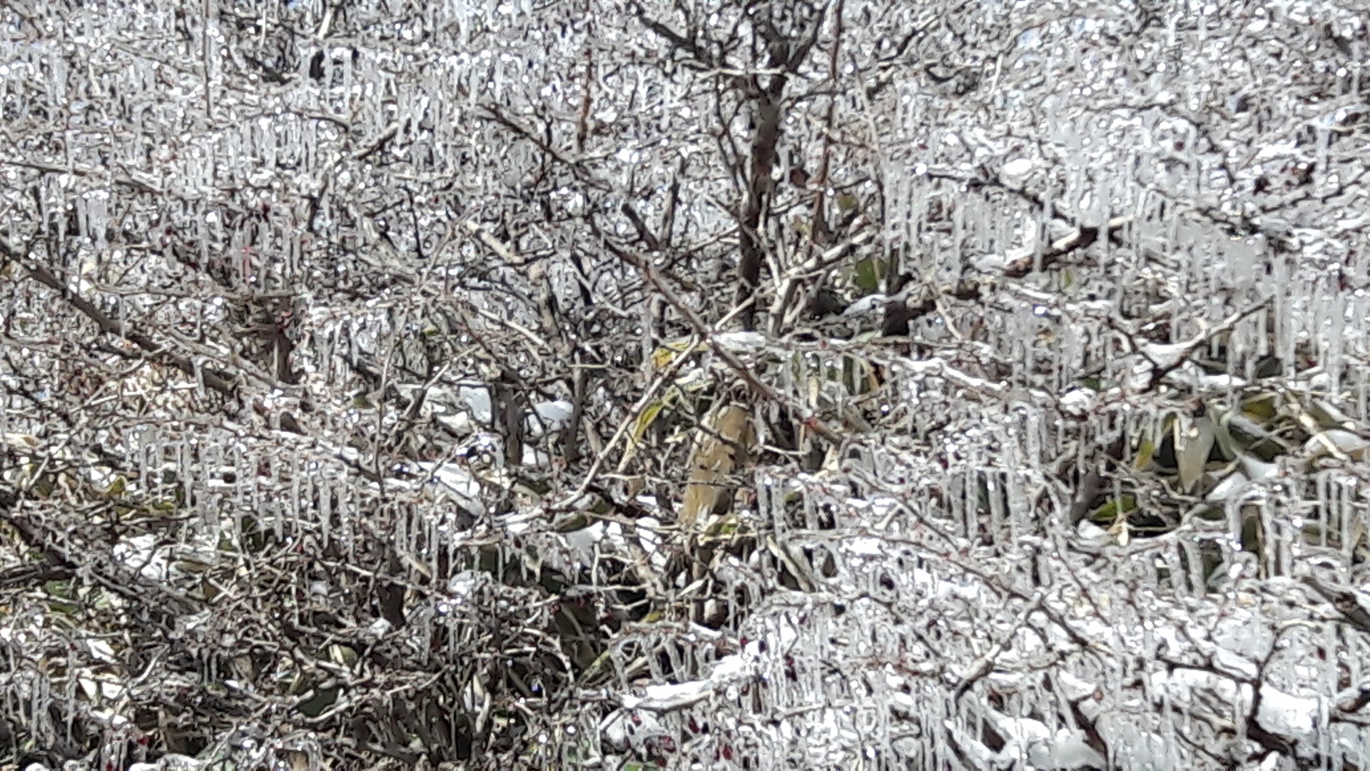
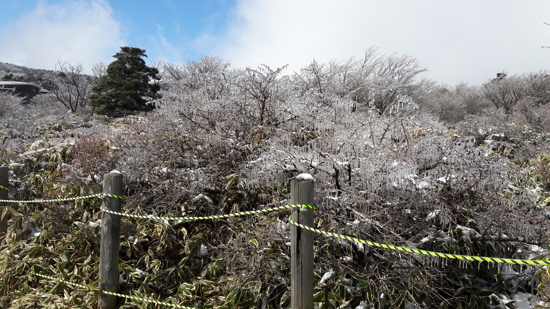
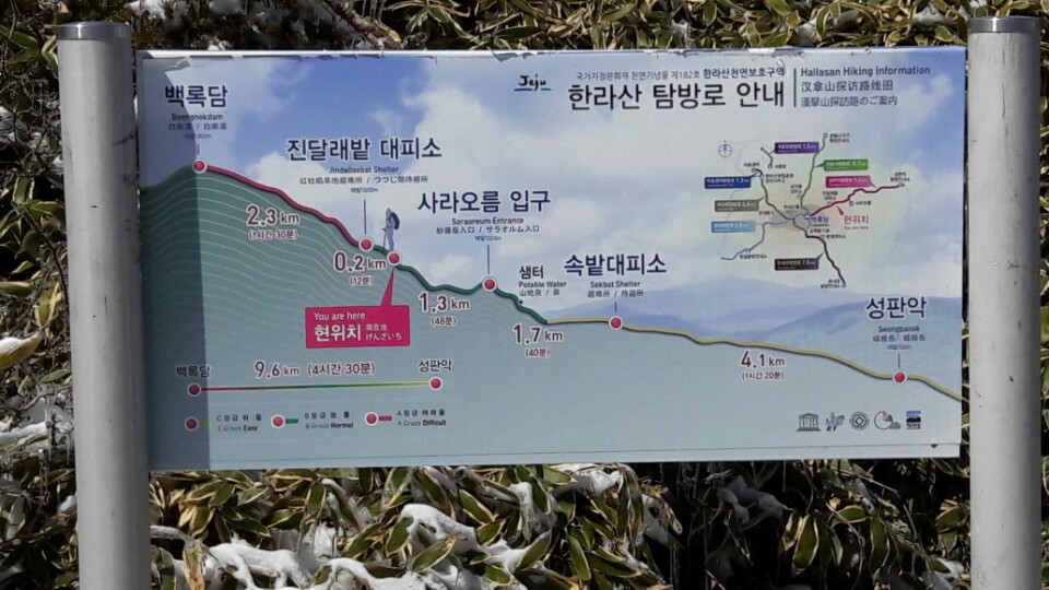
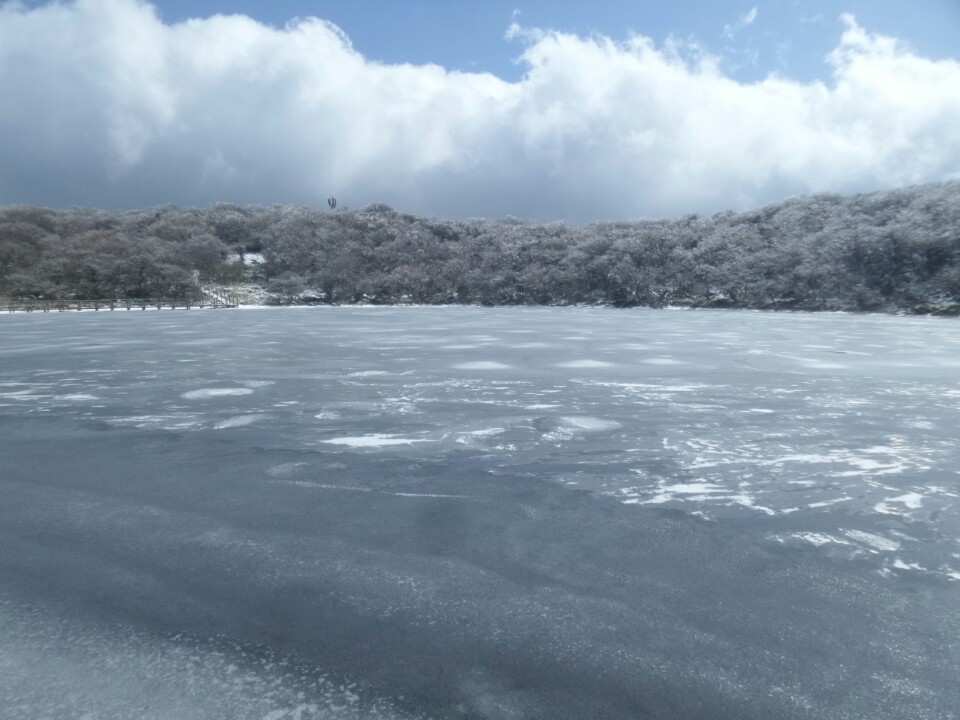
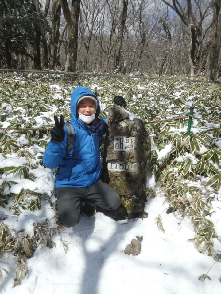
The entrance to Seongneol Oreum Volcanic Cone is located halfway between Jeju-si and Seogwipo-si on the 1st Hoengdan Road linking both cities. The volcanic cone, 750.2m above sea level, is in the highest section of the road, which divides the island into two parts, north and south. The region is also the starting point of the path up Hallasan Mountain along the eastern slope. Thus, the national park management office, a rest area, cafeteria, facilities for mountain climbers and tourists, and a spacious parking lot can be found here. Standing here, the view is magnificent. The name Seongneol originated by the shape of the volcanic cone, which looks like a fortress fortified by a number of a large plank, called "Neol" in Korean. In Chinese characters, it is written as Seongpanak. On the western foot of the cone, which stands between the volcanic cone and Sara Oreum Volcanic Cone, there was a grassy field called Jokeunsokbat. The northwest side also had a grassy plain called Sokbat. But now, these fields are all covered in pines and Japanese cedars. Located 1,000 to 1,100m above sea level, these broad fields had Samuiyang Oreum Volcanic Cone as well as a road connecting to Yeongcheon-dong, Seogwipo-si in the past. Colonies of azaleas and holly trees grow along a stream and various kinds of butterflies and birds sing here, while cows and horses graze about. Korea's distinguished butterfly scholar, the late Seok Ju-myeong, admired the field's magnificent beauty and called it Halla Garden.


Recommended content

Suak Oreum Volcanic Cone (Mul Oreum Volcanic Cone)
Kindling Your Emotion
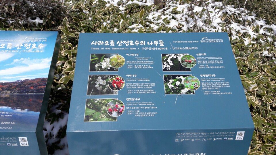
Sara Oreum Volcanic Cone
A Picturesque Site Where Roe Deer Run Freely
Booyoung Country Club
Where the Blue Ocean of Jeju Harmonizes with Hallasan Mountain
Spring Dale Golf & Resort
Large Forests of Hinoki Cypress Line the Fairways
Jabaebong Volcanic Cone (Jabae Oreum Volcanic Cone, Mang Oreum Volcanic Cone)
Featuring an Eco Forest and Many Historic Sites
Geolseoak Oreum
The cool scenery of Harye-ri Village includes Beomseom and Seopseom islets at a glance
Hyomyeongsa Temple
A rustic temple on the mid range of Hallasan Mountain
Jeju Haneulbadang ATV
ATV and horseback riding experience center
Shaka Dive
A dive shop located in Seogwipo City, Jeju
Maheuni Forest Path
Maheuni Oreum is a horseshoe-shaped crater located in Suman-ri Village, Namwon-eup. It has an elevation of 552m and a height of 47m. Maheuni Oreum is also known as Maani Oreum and Mahani Oreum.